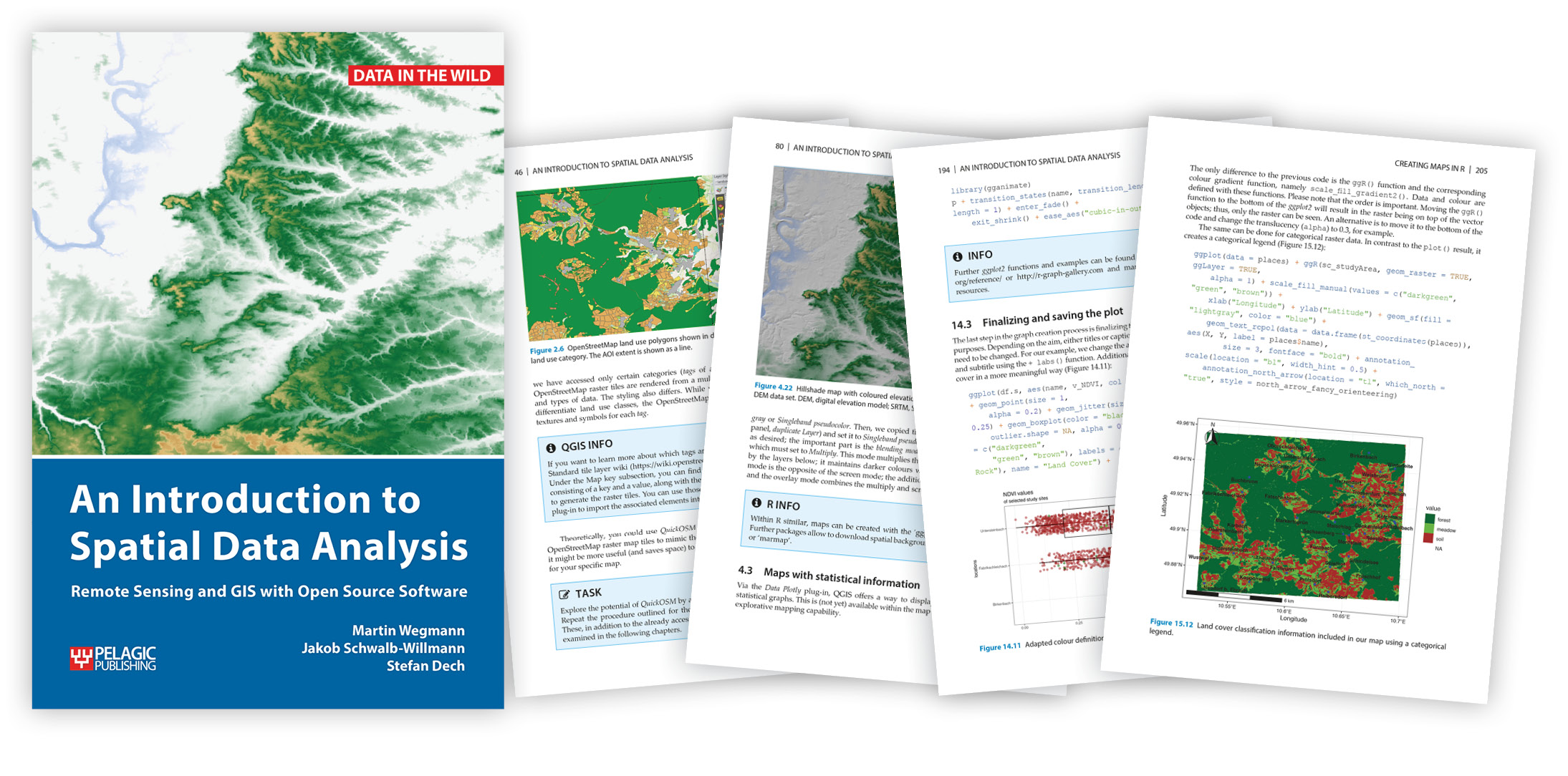
The new textbook “An Introduction to Spatial Data analysis – Remote Sensing and GIS with Open Source software” is published and available through e.g. http://book.ecosens.org or Amazon. This textbook aims at students and researchers without any prior knowledge of spatial data analysis. The book introduces basic concepts and principles of spatial data to novice users (coordinate systems, vector vs. raster data, layering etc.) and covers all necessary steps to get started with handling, exploring and analyzing spatial data. Using practical examples, the book covers all necessary steps from planning field campaigns to deriving ecologically relevant information through remote sensing. An Introduction to Spatial Data Analysis introduces spatial data handling using the open source software Quantum GIS (QGIS). All fundamental steps to achieve a first spatial data analysis project are outlined with clear explanations and screenshots of the software. The book ends with a first introduction into spatial data analysis with the command line, introducing the programming environment R.
This book starts before the “Remote Sensing and GIS for Ecologists” book and covers all fundamentals, the upcoming book “Advanced Remote Sensing” will be published next year and aims at professional users.

